The problem—and the solution
The problem
Detailed flood maps take too long to build
Large-scale, high-resolution flood maps can take decades and substantial resources to produce. FEMA has detailed studies for only about one-third of U.S. rivers.
The solution
Deep learning completes the map
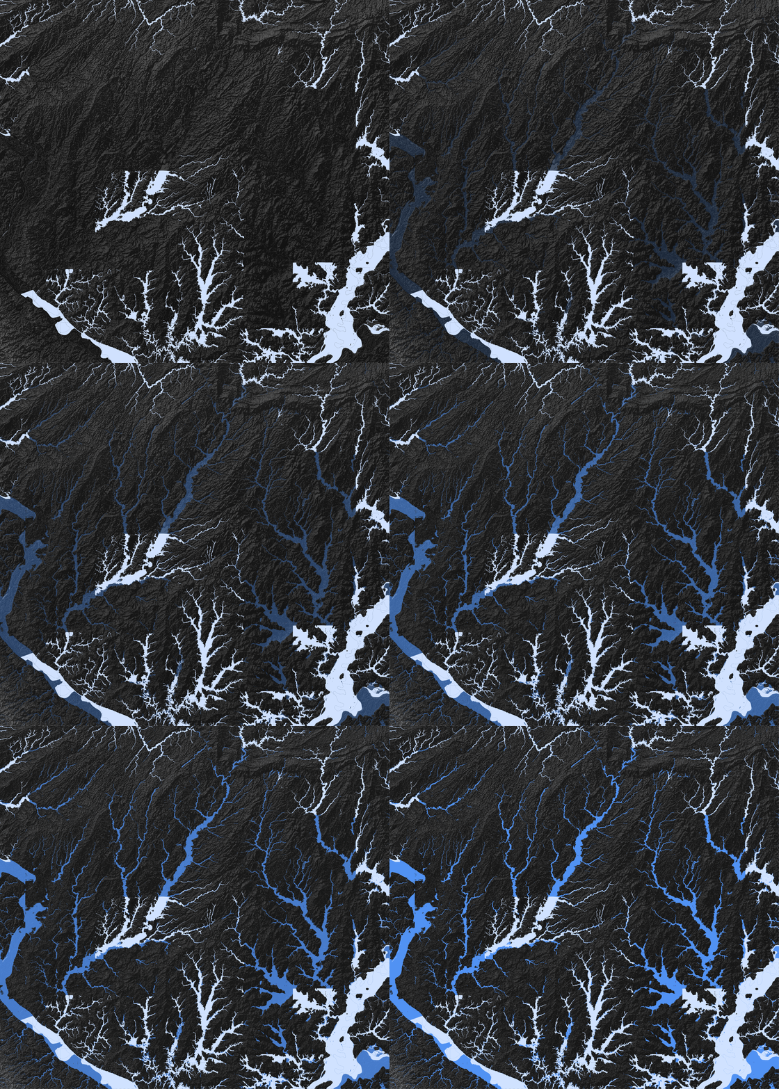
The model learns from existing FEMA flood patterns and terrain, then applies them where detailed studies do not exist—producing national, high-resolution flood information at a fraction of the time and cost.
National scale. High resolution. Low cost.
Read the method in the paper →A national flood map is the proof
The light layer shows FEMA’s published 100-year flood extent. Blue shows model-generated coverage created by applying learned spatial patterns across the country.
Flood mapping demonstrates what the method can reveal
Applied across the contiguous United States, the method reveals 11.04 million more people and 4.12 million more buildings within modeled 100-year flood extents beyond FEMA’s published coverage.
Largest population gaps
Miami and New York have the largest additional exposed populations; McAllen and Houma have almost no FEMA-mapped exposure.
Most undermapped metropolitan areas
Ranked by the share of exposed residents outside FEMA’s extent, among metropolitan areas with at least 10,000 exposed people.
From national scale to local detail
These city views show how the same national model produces locally detailed spatial insight.
- Shows fluvial and coastal 100-year flood extents; largely excludes rainfall-driven flooding.
- This is a research product, not a regulatory map. For official decisions, consult the FEMA Map Service Center.
- Accuracy varies by terrain (validation mIoU 0.48–0.54).