Millions Were Missing From America’s Flood Maps.
AI Made Them Visible.
Official flood maps cover only one-third of U.S. river channels. We trained a
deep-learning model on the places FEMA had mapped and used it to complete a
continuous 30-meter map of the lower 48—revealing 11 million people and
4.1 million buildings not represented in the national database.
For decades, the map stopped before the water did.
The United States began its national flood-insurance program in 1967.
More than half a century later, detailed federal studies cover only about
one-third of the country’s river channels. In 2023, more than 40% of
counties were still absent from the National Flood Hazard Layer, and only
one-quarter of its models had been updated within five years.
02
Detailed flood maps forced a three-way tradeoff: scale, resolution, or cost.
Engineers can model a place in detail, cover a large territory, or keep
the work affordable. Doing all three at once has been prohibitively slow
and expensive—leaving many communities with coarse, outdated, or missing
information.
Before this work
Every approach could deliver two goals—but not the third.
Scale + resolutionCost explodes.
Resolution + low costCoverage stays local.
Scale + low costDetail disappears.
Before our method, one of the three goals always had to give.
FEMA pattern Model-generated extent
03
We taught a model to learn from the places FEMA had already mapped.
Existing FEMA flood patterns provide the training signal. Terrain provides
the physical context. The model learns the relationship between the two,
then estimates flood extent where detailed studies are missing.
Instead of commissioning a new engineering study for every river, the
method turns the country’s authoritative—but incomplete—record into a
reusable source of training data.
Then it completed the lower 48 at 30-meter resolution.
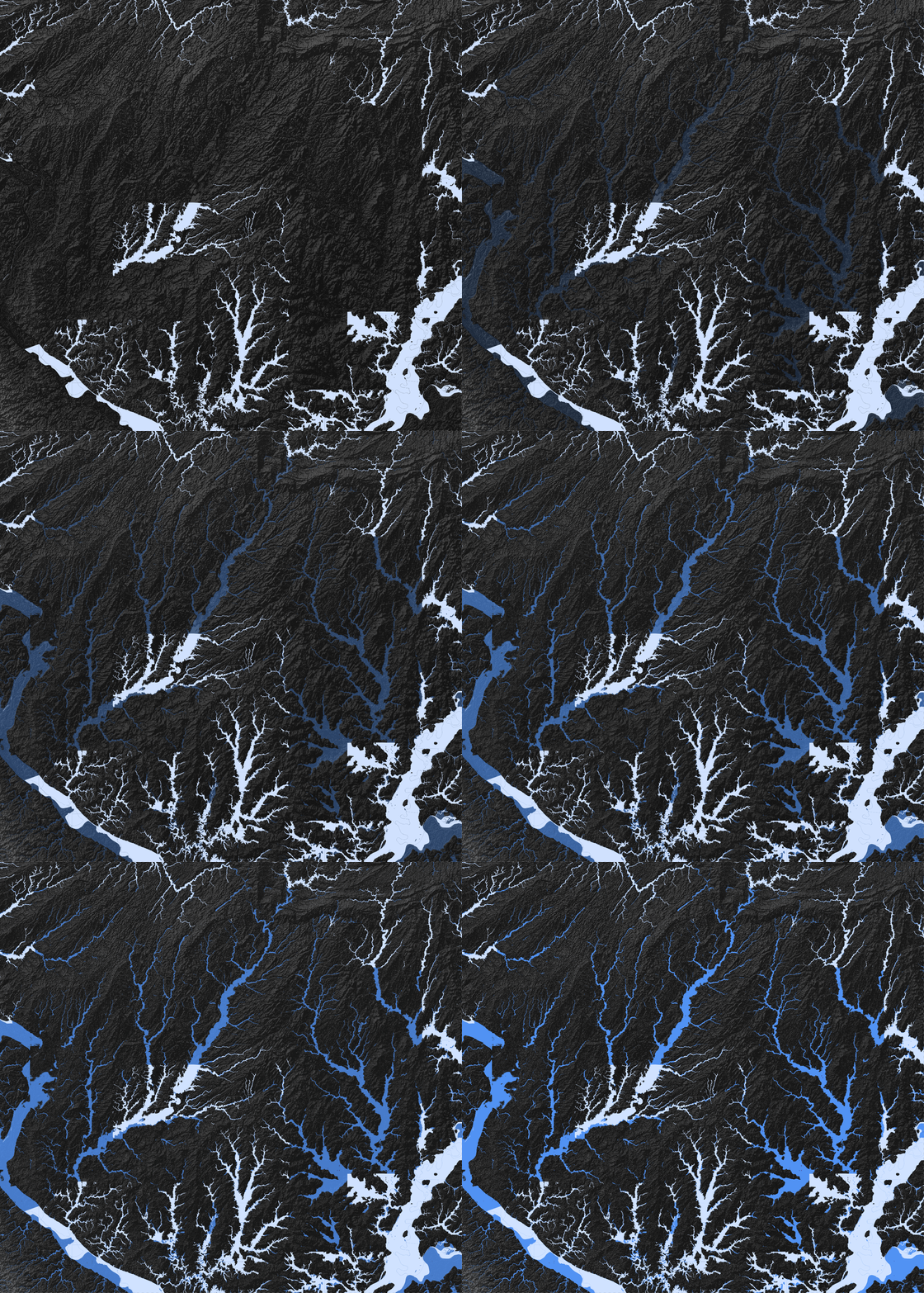
Pale blue shows FEMA’s published 100-year flood extent. Deep blue shows the
model-generated extent. Pan, zoom, or change the comparison to inspect where
the official record ends and the model continues.
The completed map revealed 11 million more people at risk.
FEMA’s national database places 16.06 million people and 5.07 million
buildings inside mapped 100-year flood zones. The completed map raises those
totals to 27.09 million people and 9.19 million buildings—69% and 81% more.
06
The omissions were not evenly distributed.
Some communities had detailed federal studies. Others had boundaries that
stopped at administrative lines—or virtually no official flood extent at all.
The model makes that uneven geography measurable.
40%of 917 urban areas were inadequately mapped
103had little or no FEMA coverage
07
The places left blank included more children and older adults.
Areas with little or no FEMA coverage had the highest median share of children
and older adults. But the pattern is not a simple rich-versus-poor divide:
areas completed by FEMA tended to have lower household incomes and higher
income inequality. Mapping priorities reflect several kinds of vulnerability.
08
Up close, the missing map takes three forms.
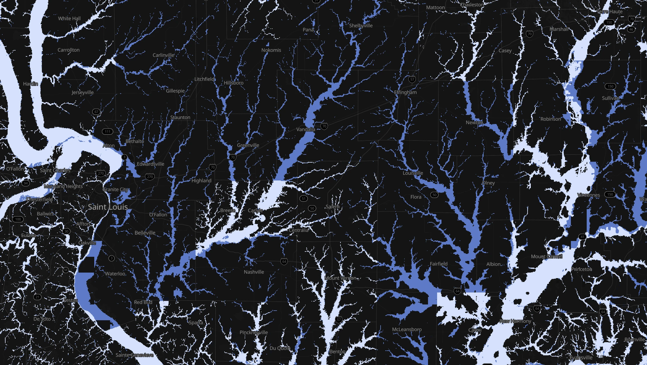
St. Louis shows underestimated tributaries, Grand Rapids shows abrupt
administrative cutoffs, and Charlotte shows conservative boundaries and
shoreline omissions. Each map is interactive.
09
Beyond flood, machine intelligence makes human expertise travel farther.
Many knowledge systems share the same bottleneck: expertise is powerful, but
slow and costly to reproduce place by place. Machine learning can carry
expert-created patterns farther—breaking the scale-resolution-cost trilemma
and allowing new questions to be asked.
How machine intelligence scales human expertise beyond the conventional production trilemma
Constrained process
ScaleResolutionCost
Expert-ledmapping
Human expertise, repeated one study at a time
Machine learning scales the pattern
Amplified process
Machine-scaledexpertise
Human knowledge applied across many more places
More places mapped→More people visible→More insights possible
Machine intelligence scales expert knowledge; it does not replace the experts who created it.
10
This map reveals missing information—it does not replace FEMA.
This is a research product, not a regulatory map. Consult the FEMA Map Service Center for official decisions.
It represents fluvial and coastal 100-year flood extents and largely excludes rainfall-driven flooding.
The model estimates where flood extent may be missing; it does not establish parcel-level insurance requirements.